New Interactive Story Map Illustrates Innovation in Sagebrush Country

Stories of people working together to put aside differences and boost their community’s natural and economic health often go unnoticed beyond the local newspapers and cafes. However, many successful landscape conservation partnerships involving rural communities and multiple agencies and partners are quietly underway in sagebrush ecosystems across the West -- yielding positive results for our nation’s wildlife and the health of public and private lands.
Each of these partnerships is unique. Each has a story of how diverse interests, challenges, and needs are being addressed to ensure the health of wildlife, sagebrush plant communities, and the rural economies that depend on a thriving agricultural and recreational base to survive.
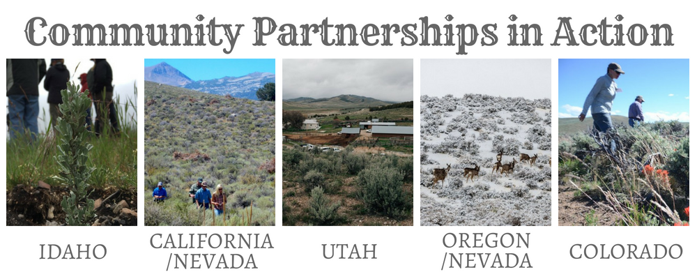
In its debut release, this story map depicts places where partnerships among local communities, the Bureau of Land Management (BLM), the Natural Resources Conservation Service (NRCS), and the Forest Service (FS) are successfully implementing large-scale sagebrush conservation projects. These projects are focused on addressing the primary threats to sagebrush ecosystems and the more than 350 species of native wildlife and plants that depend on them. Threats include conifer encroachment, fire and invasive grass species, and loss of wet meadows.
Why These Stories?
The BLM and Intermountain West Joint Venture are teaming up with partners across the West to make conservation happen by providing the tools that locals need in the forms of science, communication, and capacity. This collaboration is called Partnering to Conserve Sagebrush Rangelands and a web portal about this project houses the private and public partnership stories shown on the map. The content is created by local conservation partners with information they would like to communicate as their ingredients to successful cross-boundary conservation. New stories and points on the map will be added throughout the year.
The purpose of this story map is to quickly interest someone in learning more about these places, orient them geographically, and encourage them to click through to read more. The map layers are not intended to be highly detailed or communicate the exact location of specific projects.
Join In!
New stories, articles and photos highlighting sagebrush conservation projects and accomplishments involving the BLM, NRCS, and/or the FS within identified key landscapes are welcome and encouraged. If you have other related story ideas that do not fit these criteria, please let us know, so the map creator can find an awesome place to publicly showcase these accomplishments.