New Technology for Land Managers Revolutionizes Rangeland Monitoring
Rangeland covers about 1.1 million square miles in the United States – about a third of the country. These iconic grazing lands help feed the nation; act as recreational hubs that provide important revenue to local communities; supply water, mineral and wood resources; and are critical wildlife habitat. Rangeland managers and landowners continuously battle conservation challenges from invasive weeds to megafires to ensure both healthy land and livelihoods, but it can be tricky to track how vegetation has fared over time across these large swaths of wide-open spaces. Researchers at the University of Montana, in collaboration with the Natural Resources Conservation Service and the Bureau of Land Management, developed a new app to make that task a little simpler. Managers and landowners can learn more about RAP and how to use by watching this recorded webinar.

This graph, produced by RAP, illustrates how vegetation responded to a prescribed fire in Nebraska in 2015, which was designed to remove encroaching conifers to improve forage for livestock and wildlife. It shows that average tree cover decreased from 18% to 2% post-fire, making more room for perennial grasses and forbs.
Blending old-school data collection with cutting-edge technology, the Rangeland Analysis Platform (RAP) is an interactive web app designed to assist in monitoring and managing America’s rangeland. RAP is powered by Google Earth Engine and merges machine learning, cloud-based computing, remote sensing and field data to provide the first-ever annual vegetation cover maps to help improve America’s rangeland.
This free tool empowers landowners and managers to track vegetation changes over time from the Great Plains to the Pacific Coast at any scale from whole regions to individual ranches by instantly producing an interactive map that estimates and shows ground cover including annual and perennial grasses and forbs, shrubs, trees and bare ground – all with the click of a mouse. Pair it with site-specific local knowledge, and this free tool can help people easily access information to guide land management decisions – from visualizing the impacts of drought in the Southwest to designing conifer-encroachment treatments in the heart of sage grouse country.
RAP combines the best traits of traditional monitoring methods while using advances in technology to overcome their limitations. The product is a user-friendly web app that lets people explore rangelands at an unprecedented combination of space, time and scale to plan management actions that improve agricultural operations, enhance rangelands and boost wildlife habitat.
The technology, pioneered by scientists in the W.A. Franke College of Forestry and Conservation, took two years to develop. Primary UM researchers include Matthew Jones, an ecologist and remote sensing scientist and the project’s lead research scientist; Brady Allred, associate professor of rangeland ecology and the app’s creator; and Dave Naugle, professor of wildlife biology.
RAP marries over 30,000 field plots from the NRCS National Resources Inventory and the BLM Assessment, Inventory and Monitoring datasets with the historical Landsat satellite record and data about meteorology, elevation and soils. The team used machine learning – the concept that systems can learn from data, identify patterns, and make decisions without being explicitly programmed to do so – to produce the vegetation maps.
“In the case of the RAP, we invoke a machine learning algorithm to learn the relationships and patterns between data collected in the field and a massive suite of satellite and land surface data,” Jones said. “Using those relationships and patterns the algorithm can then make predictions of vegetation cover over areas where we don't have field data.”
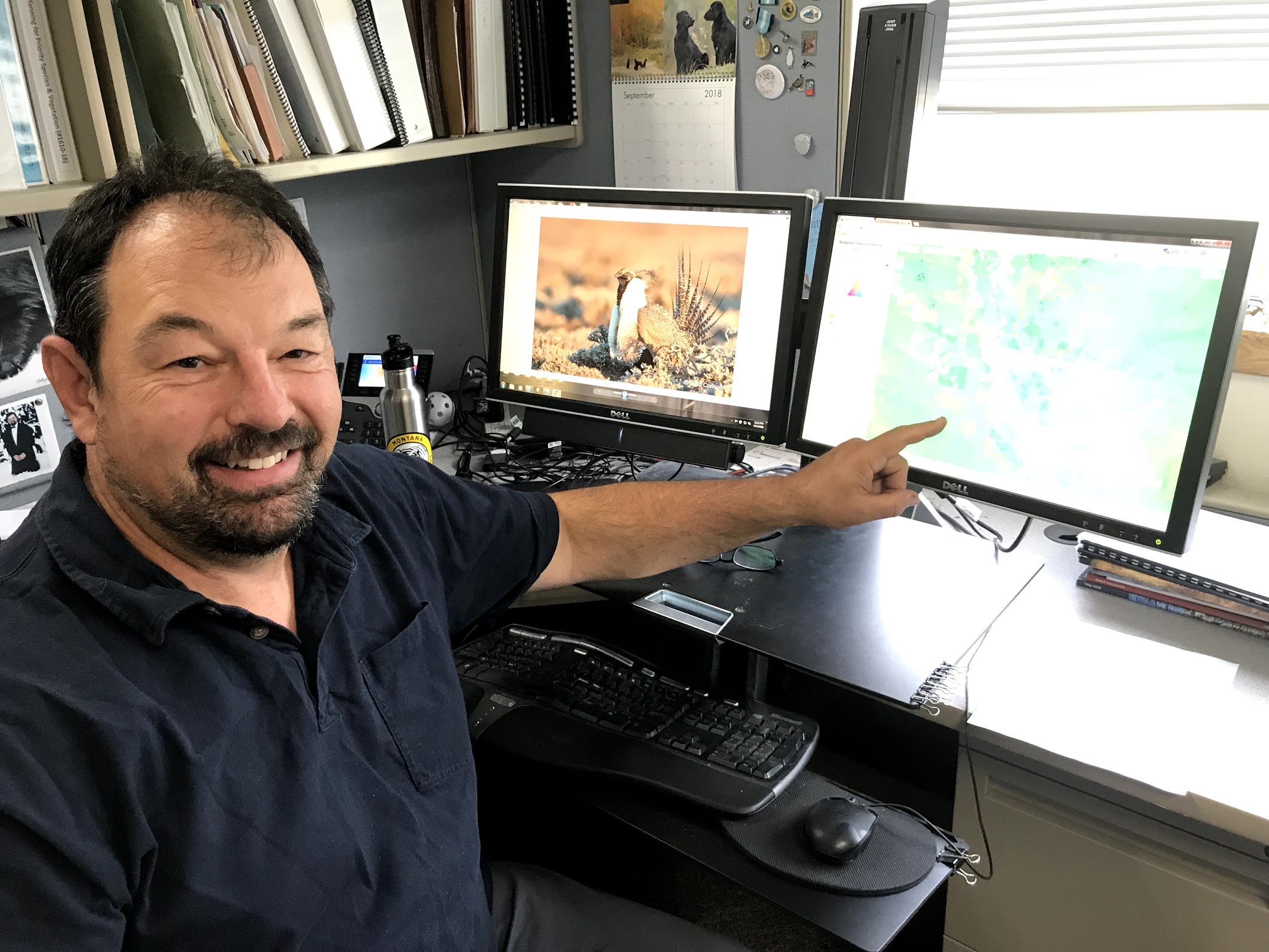
Carlson and other BLM staff are exploring how this tool can help them improve agricultural operations, enhance rangelands and boost wildlife habitat.
Managers across the West are already putting the app to good use. John Carlson, a BLM conservation biologist based in Billings, Montana, is training BLM staff in Montana and the Dakotas to capitalize on this new technology. He’s also a UM alum - Zoology class of ’88. “This is where cowboy boots meet big data,” Carlson said. “RAP empowers us to look backward in time and across public lands to assess management effectiveness.”
Managers and landowners can learn more about RAP and how to use by watching this recorded webinar.
