Invasive Annual Grass Spatial Data Compilation and Synthesis Project
Across the West, invasive annual grasses are a major threat to sagebrush rangelands, impacting plant communities, wildlife habitat, and wildfire risk. Numerous spatial datasets mapping invasive annual grasses exist; however, land managers often struggle to identify which of these spatial products are most relevant to their work, or are unaware that these resources exist at all. Through key resources, experts collated invasive annual grass spatial datasets and identified similarities and differences among these resources. Further, they provide guidance to potential users on selecting appropriate spatial products.
The U.S. Geological Survey worked closely with partners in the Bureau of Land Management, Colorado State University, U.S. Fish and Wildlife Service, and the Intermountain West Joint Venture to collect and summarize spatial datasets that describe where and how much invasive annual grasses have infested the sagebrush biome. Called the Invasive Annual Grass (IAG) Spatial Data Compilation and Synthesis Project, the results provide guidance to those tasked with combating the spread of invasives.

KEY ELEMENTS
Many products that map IAGs were released over the past 11 years, with the rate of release especially accelerating in the past three years (15 out of 23 products).
There is considerable overlap between these products in terms of which species and aspects of IAGs they map (e.g., cover v. presence) and mapping methods, making it difficult for potential users to determine which is best for meeting their goals.
With stakeholder guidance, researchers reviewed and summarized 41 attributes describing seven key criteria of IAG spatial products to develop resources (a database, compendium, and user guide) to facilitate selection of the most appropriate product.
Researchers also identified barriers to utilization of these products and provided recommendations for overcoming them such as improving plain language communication of each product's strengths, improving modeling approaches to increase accuracy and spatial resolution, and implementing a co-production approach to creating spatial products that includes potential users throughout an iterative development cycle.
This project is comprised of the following five resources:
An online database of invasive annual grass spatial products, each product summarized by 40+ criteria.
A compendium, which is a collection of two-page summaries on all of the spatial products.
An interactive Sagebrush Ecosystem Data Viewer that allows a user to activate IAG spatial product data layers, upload polygons, identify areas of interest, and export reports related to these data products and others without needing GIS software.
A user’s guide to selecting invasive annual grass spatial products for the western United States.
A journal publication in Rangeland Ecology and Management titled “Bridging the gap between spatial modeling and management of invasive annual grasses in the imperiled sagebrush biome.”
Tutorials on How to Use These Resources
This overview tutorial of the Invasive Annual Grass Spatial Data Compilation and Synthesis Project with Julie Heinrichs, Colorado State University, will walk viewers through each of the five parts and how you can use them.
This tutorial with Lief Wiechman, U.S. Geological Survey, will walk viewers through the interactive Sagebrush Ecosystem Data Viewer, which is part of the Invasive Annual Grass Spatial Data Compilation and Synthesis Project.
BACKGROUND

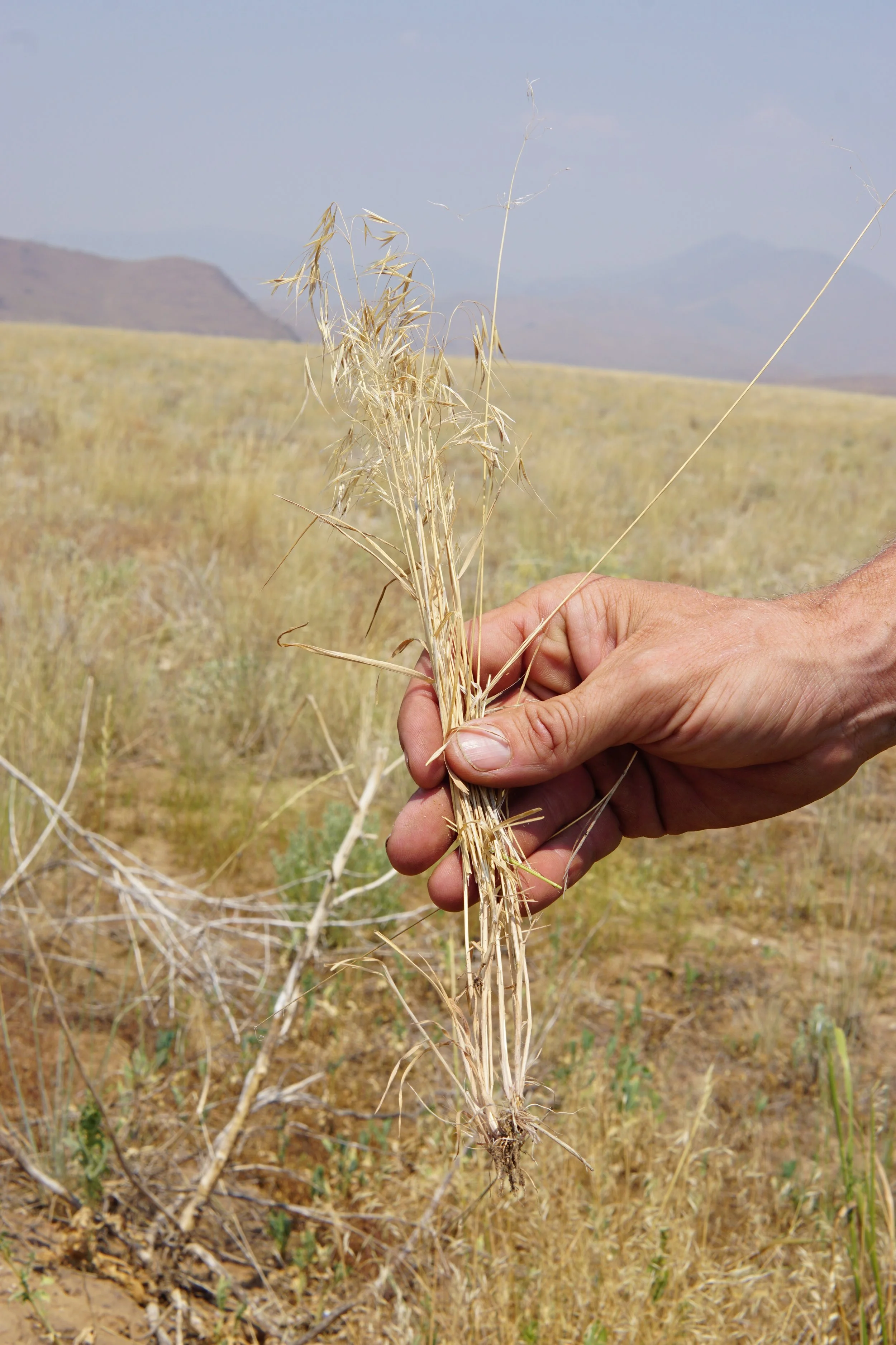
The sagebrush biome is an imperiled landscape that has been reduced to half its original size across the western U.S. and is still being degraded and fragmented due in part to the interaction between annual invasive grasses and uncharacteristic wildfires. Three invasive annual grass species (cheatgrass, medusahead, and Ventenata spp.) continue to spread across western sagebrush rangelands and increase risk and frequency of wildfire while converting native sagebrush into nonnative invasive grasslands. These invasive annual grasses establish and spread, becoming a connected fuel system that, when ignited, can quickly burn thousands of acres at high intensity, putting local communities at risk to wildfire. Even in areas that have not burned or are at relatively lower risk of fire, invasive annual grasses continue to spread, outcompeting native vegetation. Managing these invasive species is a multi-jurisdictional challenge and a primary threat for sensitive or state- and federally-protected species dependent on sagebrush landscapes.

Communities, private landowners, and state and federal agencies need critical science information to identify the current level of invasion and the future risk of invasion. This information can be integrated into state and regional efforts to inform cost-effective decisions about invasive plant management and to protect native ecosystems, community livelihoods and resources of concern. Many maps and spatial datasets have been recently developed to identify current species distributions and forecast regions/areas/lands at risk of further invasion. It is difficult to keep pace with the two dozen or so datasets mapping invasives and it is challenging to quickly learn enough about each to make a grounded decision in what map resource to use. Land managers have limited time, capacity, and variable technical expertise to locate the data and determine how to use the various datasets in meaningful ways for their management issues. All partners can benefit from a searchable, online Sagebrush Ecosystem Data Viewer of recently published science summarized specifically for land managers. The summaries created by this project include descriptions of available maps and spatial datasets with links to source data, and examples of the selection of appropriate datasets for addressing different management challenges.